The power of data: using geospatial analysis to support COVID-19 decision-making
| 11 October, 2022 | Peter K. Rogan Ph.D., Eliseos J. Mucaki, M.Sc., and Ben C. Shirley, M.Sc. |
|
|
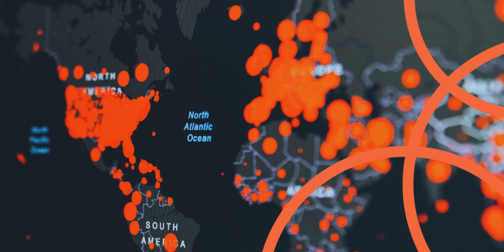
How could the management of COVID-19 be improved if emerging hotspots were identified in real-time? We spoke to F1000Research authors Peter K. Rogan, Ph.D., Eliseos J. Mucaki, M.Sc., and Ben C. Shirley, M.Sc. about their latest Research Article, which used geostatistical analysis to investigate community-level disease transmission.
What inspired you to use geospatial analysis to investigate COVID-19 hotspots?
We gained an appreciation for the power of geostatistical analyses shortly before the COVID-19 pandemic began. In a previous study, we determined the technical capacity needed to estimate population-scale radiation exposures by adapting these methods to interpolate radiation maps from sampled patient data. We and others have found that these methods could be used to represent COVID-19 distributions.
With publicly available COVID-19 data from the United States, we found that geospatial analysis could identify emerging COVID-19 hotspots over time. We hypothesized that earlier detection of these locations could assist public health organizations in Canada. We applied to the Ministry of Health and Long-Term Care (MOHLTC) in the Province of Ontario to access geo-tagged COVID-19 data during the early phases of the pandemic.
What were some of your key findings?
This study illustrated the importance of identifying hotspots at a high geographic resolution and describes how this level of precision provides targeted information about disease transmission. We identified COVID-19 hotspots in 6 different municipalities before they were publicly announced. These results enabled us to trace likely transmission between individuals in neighboring Toronto hotspots. At the request of the MOHLTC, we automated geostatistical analysis of all reported COVID-19 cases over a 3-month window during the second phase within a week.
Earlier recognition of emerging hotspots could help prevent future spread of the disease by prioritizing contact tracing, more effective distribution of resources, isolating clusters of affected individuals, and targeted vaccination campaigns.
What are the primary differences between your study and earlier approaches to investigating the spread of COVID-19?
Geostatistical methods have previously been utilized to map communicable diseases such as influenza-like diseases, dengue fever, cholera, legionellosis and shigellosis, among others. Various geostatistical analyses have been used in the surveillance of COVID-19 spread across the globe, often with the geo-spatial software, ArcGIS (ESRI). Our study had the distinct advantage of using newly diagnosed cases at very high-geographic and temporal resolution. This allowed us to develop novel approaches that precisely identified emerging hotspots.
What do you hope will be the impact of your research?
Our work should be useful for tracking other infectious diseases as well as new strains of COVID-19, for example, those resistant to protection offered by current vaccines. We eliminated the barrier to implementation by offering freely available, user-friendly software running on a widely used commercial geo-analytic platform. It can be modified to facilitate future analysis in other jurisdictions. So far, the code and associated boundary shapefiles have facilitated geostatistical analysis of COVID-19 in the U.S. and Canada; it should be feasible to apply a similar approach worldwide.
How do you see these analyses being applied to future public health crises?
In the future, this approach could provide near real-time recognition of hotspots, and transmission between neighboring disease clusters. It depends only on the efficient, accurate, and comprehensive collection of test assay results on infected individuals with known addresses. We or others can adapt our Geostatistical Disease Epidemiology Toolbox (which is freely available) for different specific use-cases.
Why are the techniques implemented in your study potentially more useful than contact tracing alone?
Contact tracing is highly dependent on reporting compliance(a well-known challenge during the pandemic), whereas the results of viral infection assays can be personalized, centralized, and privacy can be assured. There was also evidence that contact tracers were overwhelmed by the sheer volume of COVID-19 infected individuals and the numbers of contacts between these individuals and others. Our method can be utilized to help contact tracers prioritize high-density clusters, which would be particularly helpful when vaccines or other interventions are not yet proven or sufficiently available.
What’s next for this area of research?
We believe that it may be possible to exploit observations of COVID-19 infections at consecutive, neighboring postal codes to anticipate the occurrence and locations of subsequent infections. We believe that it may be useful to combine dynamic 5G cellular phone mobility data with geospatial epidemiology and machine-learning models to establish mathematical vectors for potential directions of COVID-19 transmission, without having to identify consecutive, neighboring contemporaneous hotspots. Application of geostatistical analyses and other technologies may overcome the challenges posed by non-compliance or erroneous COVID-19 information from infected persons.
Read the full Research Article today on F1000Research for an in-depth look at the study, or access the team’s Geostatistical Disease Epidemiology Toolbox here.
|
|

User comments must be in English, comprehensible and relevant to the post under discussion. We reserve the right to remove any comments that we consider to be inappropriate, offensive or otherwise in breach of the User Comment Terms and Conditions. Commenters must not use a comment for personal attacks.
Click here to post comment and indicate that you accept the Commenting Terms and Conditions.